ITW 17
Tuesday May 25 2010 Lake Trinidad Colorado
28* Coffee
Hwy 12 west is a Scenic Byway through the foothills of the Rockies. Beautiful country. Snowcap peaks.
Through Stonewall county some "Flatiron" rock formations. /amazing to see.
Cuchara pass 9,941' elev
Laveta pass ... break out into Plains / arid plain / desert.
Hwy 160 west straight roads down to Plains. sagebrush forever.
Ft Garland. Onto Alamosa. North on hwy 17. pass by a Solar collector plant / project; interesting.
East to San Luis st park. another sign : Great Sand Dunes Nat Park.
Drive through desert. See several "Dirt Devils" ... Cyclone / Twister/ Funnels from sand.
San Luis Lake has a canal leading to irrigate far off ranches.
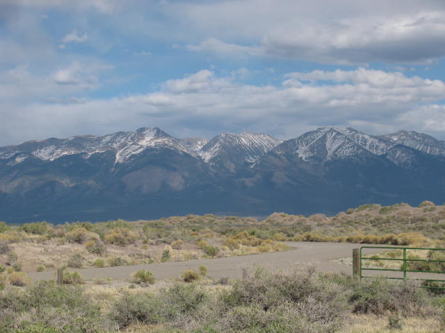
Snowcap Mtns on other side of Lake are Sangre de Cristo range. Stunningly beautiful in the desert.
Great Sand Dunes are at the bottom of range across Lakes.
San Luis Lake is not from Snowpack runoff down the mountain ridges... Snowpack Melt Sinks INTO mountain , then perocolates down through Sangre de Cristo Mountain range /// through earth, then rises in bowl lake at the bottom of the range. Amazing.
Desert air is thin, cool. Wind 10 -12. Clear.


Trinidad to San Luis st park Colorado
ITW 17
Tuesday May 25 2010 Lake Trinidad Colorado
28* Coffee
Hwy 12 west is a Scenic Byway through the foothills of the Rockies. Beautiful country. Snowcap peaks.
Through Stonewall county some "Flatiron" rock formations. /amazing to see.
Cuchara pass 9,941' elev
Laveta pass ... break out into Plains / arid plain / desert.
Hwy 160 west straight roads down to Plains. sagebrush forever.
Ft Garland. Onto Alamosa. North on hwy 17. pass by a Solar collector plant / project; interesting.
East to San Luis st park. another sign : Great Sand Dunes Nat Park.
Drive through desert. See several "Dirt Devils" ... Cyclone / Twister/ Funnels from sand.
San Luis Lake has a canal leading to irrigate far off ranches.
Snowcap Mtns on other side of Lake are Sangre de Cristo range. Stunningly beautiful in the desert.
Great Sand Dunes are at the bottom of range across Lakes.
San Luis Lake is not from Snowpack runoff down the mountain ridges... Snowpack Melt Sinks INTO mountain , then perocolates down through Sangre de Cristo Mountain range /// through earth, then rises in bowl lake at the bottom of the range. Amazing.
Desert air is thin, cool. Wind 10 -12. Clear.